แนวเส้นทางของโครงการ

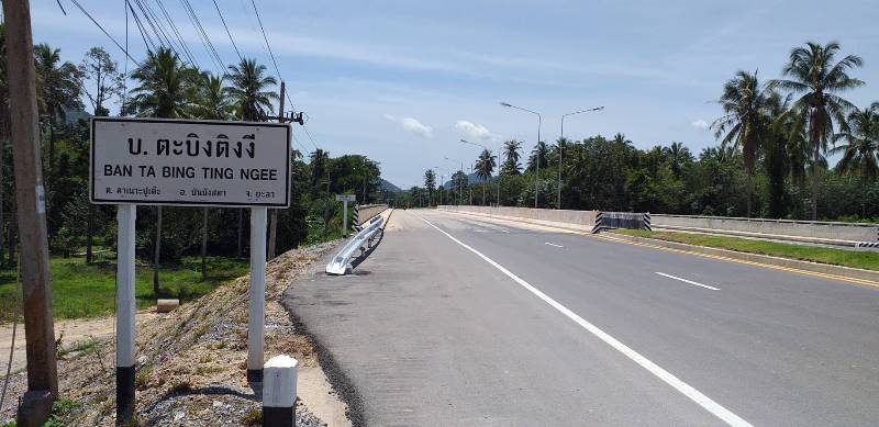
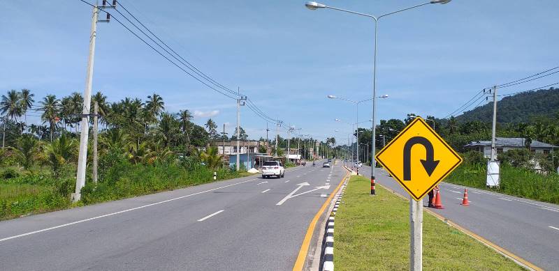
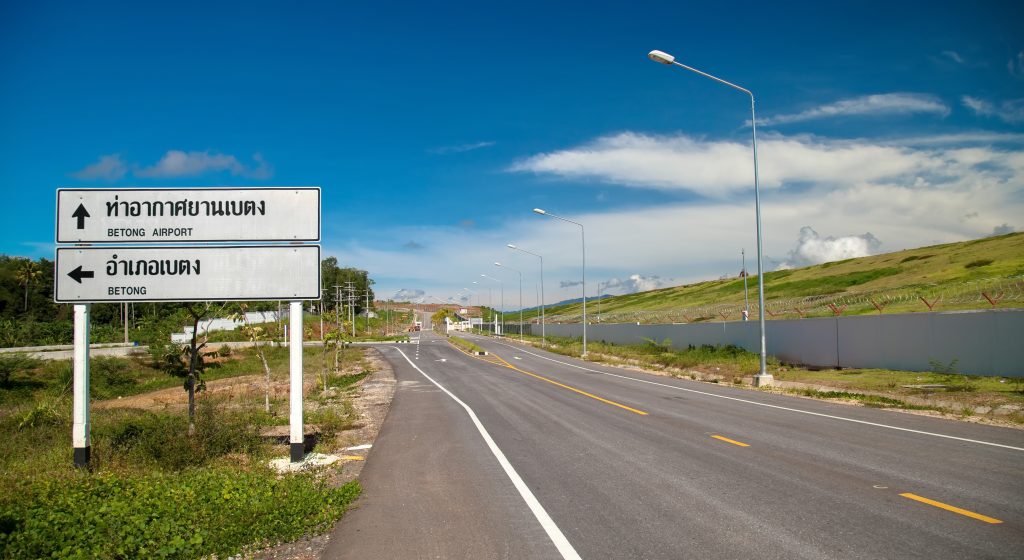
แนวเส้นทางโครงการมีจุดเริ่มต้นโครงการบนทางหลวงหมายเลข 410 กม. ที่ 103+000 บริเวณตำบลบ้านแหร อำเภอธารโต และมีจุดสิ้นสุดโครงการบนทางหลวงหมายเลข 410 กม. ที่ 150+498 บริเวณตำบล
ตาเนาะแมเราะ อำเภอเบตง รวมระยะทางประมาณ 47.498 กิโลเมตร
ขอบเขตการศึกษา
ภายใต้ขอบข่ายของงานและรายการข้อกำหนด สำหรับงานบริการด้านวิศวกรรมการสำรวจและออกแบบรายละเอียด โครงการสำรวจและออกแบบทางหลวง 4 ช่องจราจร บนทางหลวงหมายเลข 410 ช่วง ยะลา-อ.เบตง ตอน บ.หัวสะพาน-อ.เบตง มีขอบเขตงานดังนี้
ความเป็นมาของโครงการ
ทางหลวงแผ่นดินหมายเลข 410 (สายปัตตานี-เบตง) เป็นทางหลวงแผ่นดินแนวเหนือ-ใต้ที่เชื่อมต่อระหว่างจังหวัดปัตตานีกับจังหวัดยะลา ปัจจุบันมีปริมาณการจราจรเพิ่มขึ้นอย่างต่อเนื่อง ทำให้ผู้ใช้ทางไม่ได้รับความสะดวกในการเดินทาง อีกทั้งแนวเส้นทางบางช่วงตัดผ่านพื้นที่เขตอุทยานแห่งชาติ พื้นที่ชั้นคุณภาพลุ่มน้ำชั้น 1B และพื้นที่ชั้นคุณภาพลุ่มน้ำชั้นที่ 2
ข่าวประชาสัมพันธ์ #3
Lorem Ipsum is simply dummy text of the printing and typesetting industry. Lorem Ipsum has been the industry’s standard dummy text ever since the 1500s, when an unknown printer took a galley of type and scrambled it to make a type specimen book. It has survived not only five centuries, but also the leap into electronic […]
ข่าวประชาสัมพันธ์ #2

Lorem Ipsum is simply dummy text of the printing and typesetting industry. Lorem Ipsum has been the industry’s standard dummy text ever since the 1500s, when an unknown printer took a galley of type and scrambled it to make a type specimen book. It has survived not only five centuries, but also the leap into electronic […]
ข่าวประชาสัมพันธ์ #1
Lorem Ipsum is simply dummy text of the printing and typesetting industry. Lorem Ipsum has been the industry’s standard dummy text ever since the 1500s, when an unknown printer took a galley of type and scrambled it to make a type specimen book. It has survived not only five centuries, but also the leap into electronic […]